Flagpole Knob Gravel Ride
Flagpole Knob Gravel Ride
Located in the George Washington National Forest
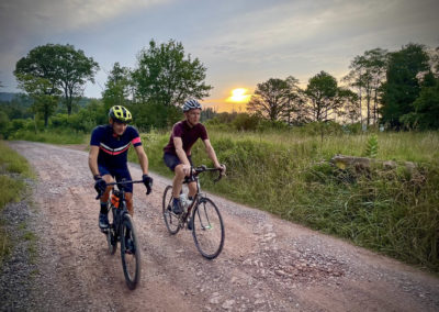
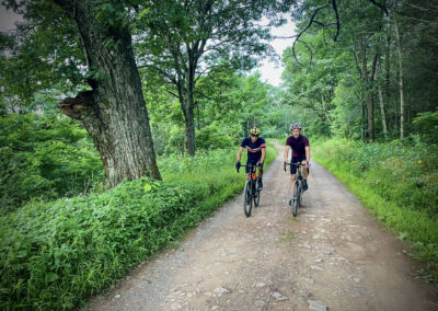
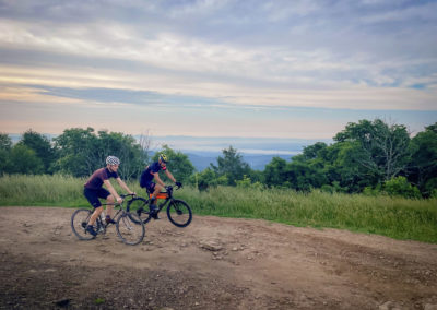
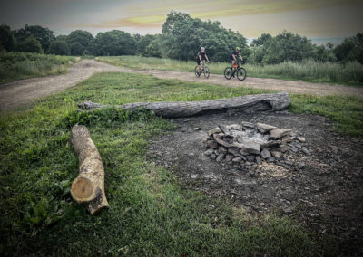
Ride through lush forest roads up to Flagpole Knob, the highest point in Rockingham County. At 4,360 feet, riders can enjoy cooler temperatures and stunning views along the ridgeline. A fire ring and log benches invite riders to rest on top of the mountain. In the fall, thousands of migrating birds can be seen along the ridge. In the spring and early summer, warblers sing from the trees lining the road.
For more detailed trail information: Flagpole Knob Gravel Ride
Trail Information
Trail Activities: Gravel Cycling, Mountain Biking, Hiking, Trail Running and 4×4 Off-Roading
Time required: 1 hour
Challenge level: Easy to Moderate
Distance: 7.1 miles
Elevation change: +/- 809 ft
Terrain: Dirt and gravel road. Some mud after recent rain.
Preferred direction: n/a (out and back)
Practical Planning Information
Services along trail: None
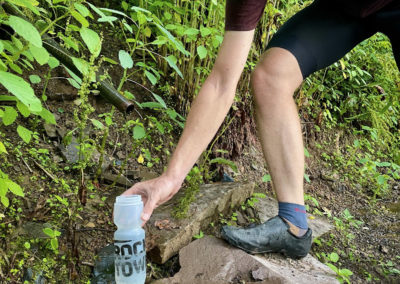
Food & water: Natural spring at 2 miles on the left (west) side of the road. Bring a water purification method.
Mobile phone service: Limited service along the route. Better coverage is available at open views along the ridge and at Flagpole Knob.
Directions & Parking
Google: Briery Branch Gap
Driving time: 40 minutes west of Harrisonburg
Signs and marking: Some forest service roads and trails are labeled. Stay on the main road.
Parking: Unmarked pull-off parking is available along the right side of the road.
Flagpole Knob Gravel Ride
Navigating the Route
From the town of Briery Branch, drive up Rt. 924 past the sign for Hone Quarry Recreation Area on your right and up the mountain to Briery Branch Gap. Turn right onto Forest Service Road (FS) 85 and park in the unmarked dirt pull-off area just after the intersection. Additional spots can often be found further up the road near FS539, Quarry Ridge Trail. Ride north on FS85 and stay on the main road. Within 2 miles, spring water is available through a small pipe coming from the northwest side of the road. After 3.5 miles, a clearing will emerge through the trees to the south. Take the 4×4 tracks on the right to connect to Flagpole Knob. Flagpole Knob is marked by a large grassy area and a circular dirt track. When you have rested, return to Briery Branch Gap the same way you came.
Note that temperatures are 10-15 degrees cooler in the mountains than they are in the valley. Be prepared for greater weather exposure as well as increased wind and rain on the mountain. In winter and shoulder seasons, snow and ice can remain on the trails.
MORE INFORMATION:
Watch for 4×4 tracks alongside FS85. The route is often intersected by off-roading vehicles, especially near Brother Knob and Flagpole Knob. Flagpole Knob has become a popular destination for high clearance 4×4 vehicles to climb the mountain via rugged Union Springs or Dunkle Hollow. These vehicles usually move at low speeds. However, you should take care around blind corners and listen for sounds of approaching vehicles.

